Route of the Great North Road – Evolution
As you browse this website you will soon see we use the term Great North Road in a rather loose way.
Depending on the century, you may or may not have visited Royston, Lincoln, York or Newcastle as you travelled the length of the country. There is a braid of routes and we aim to be as inclusive as possible!
It will be helpful to summarise the main variations seen over time.
Great North Road – The Coach Road
Let’s start (out of sequence) with the classic coaching route with which the term Great North Road is most usually associated. The stage-coaches and post coaches really got going in the 18th century and reached their high point in the 1830s – immediately before the railways undermined their relevance and viability.
The turnpikes and their associated road improvements opened up the route out of London though Hatfield, Stevenage and Baldock, displacing the earlier “Old North Road” via Royston.
In Yorkshire, the route described by Harper at the turn of the last century was via Selby, York and Northallerton. Further north, the route to Edinburgh from Newcastle was by the coastal route through Berwick.
Classic though this route may have been, it was never the only route north. Plenty of coaches continued to run along the Old North Road and indeed the very first turnpike act related to the road between Ware and Stilton. York was an important destination, but those headed to Newcastle and Edinburgh were likely to take the more direct route via Wetherby through the Vales of York and Mowbray.
The following interactive map of the route of the Great North Road highlights the main variants. However, the propensity for individuals and coaching companies to flex their routes according to demand, road conditions, preferred inns etc should never be under-estimated.
Ermine Street and Dere Street
These are the names given (retrospectively) to the Roman roads from London to York, and from York to Scotland. There is evidence for the routes in the Antonine Itinerary and also in the archaeological record of towns, forts, bridges and the road itself.
The Antonine Itinerary is ambiguous in many respects, including its date of origin and the identity of some of the places mentioned. None of the 15 British itineraries corresponds directly to our road – but sections are covered in several of them. For instance Iter V includes Godmanchester, Peterborough, Lincoln, York, and Catterick (but the route starts in Chelmsford and ends in Carlisle).
The usual interpretation of “Ermine Street” is from London to York via Godmanchester, Lincoln, and a ferry across the Humber at Brough. There was an alternative inland route, avoiding the ferry, which passed through Doncaster and Castleford.
North of York, “Dere Street” led to Hadrian’s Wall near Corbridge and on towards central Scotland via an inland route. There were plenty of other Roman roads which provided options for Romans travelling north and south; not least, the road identified by Margary as RR280 linking Tadcasster and Whixley so avoiding the diversion to York.
The following map shows both Ermine Street and Dere Street. There are separate pages on this website which go into greater detail about them both.
Route of The Old North Road
In the early medieval period, long distance routes were made problematic by the failure to maintain the river crossings established by the Romans. It was not unusual for monarchs, religious leaders and others travelling from, say, London to York to follow a more westerly route through Stony Stratford (Milton Keynes) then via Northampton and Leicester.
With first wooden bridges then stone replacements, by the 14th century the standard route to York had reverted towards the Roman line of Ermine Street in the south, and via Grantham, Newark and Doncaster through Lincolnshire and Yorkshire. This is the road described by Ogilby in 1675.
The Old North Road was characterised by its route from London to Alconbury. Exiting the capital via Waltham it followed what is now the A10 as far as Royston. From there it continued to follow the Roman road, now dubbed the A1198, via Arrington, Godmanchester and Huntingdon.
The A1
During the second half of the 19th century the Great North Road became something to look back on with nostalgia – that strange and distant world before trains when road transport and horses had been the premium means of travel.
It took the arrival of the internal combustion engine to bring the roads back to life. In the early 20th century it became possible, and fashionable, to re-discover the great roads of the past. And as traffic grew so the need to improve surfaces and to take a national approach to the road network became imperative. When Britain decided to emulate France with a national road numbering system in 1921 it was perhaps inevitable that the Great North Road should become the A1.
Of course, that is a simplification. One strand of the Great North Road’s braid of routes became the A1. And over the next 100 years repeated improvements have seen the A1 by-pass virtually all the cities, towns and villages.
Route of the Great North Road – More Information
River Aire
The coaches of the Great North Road and todays vehicles on the A1 cross the River Aire at Ferrybridge. The Roman crossing was further west, by ford across the...
Ferrybridge Coaching Inns
There was a thriving cluster of coaching inns at Ferrybridge in the 18th and early 19th centuries. Famous hostelries included The Angel, The Swan and...
The Ram Jam Inn
The Ram Jam at Stretton grew from being a modest village inn to a Great North Road institution. Where did the "Ram Jam" name come from? And what's the link...
Dick Turpin
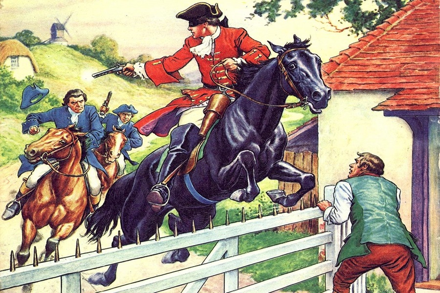
Dick Turpin, the “Flying Highwayman”, was famed for his bravery, resolution and generosity. A scoundrel and a thief but also a gentleman who minimised any...
River Wear
The River Wear used to be crossed three times by the Great North Road; twice where the river forms a meander around Durham and once a few miles.....
Daniel Defoe
Daniel Defoe was an early travel writer who wrote with descriptive detail about what he saw. Most of the towns and cities along the Great North Road are recorded...


