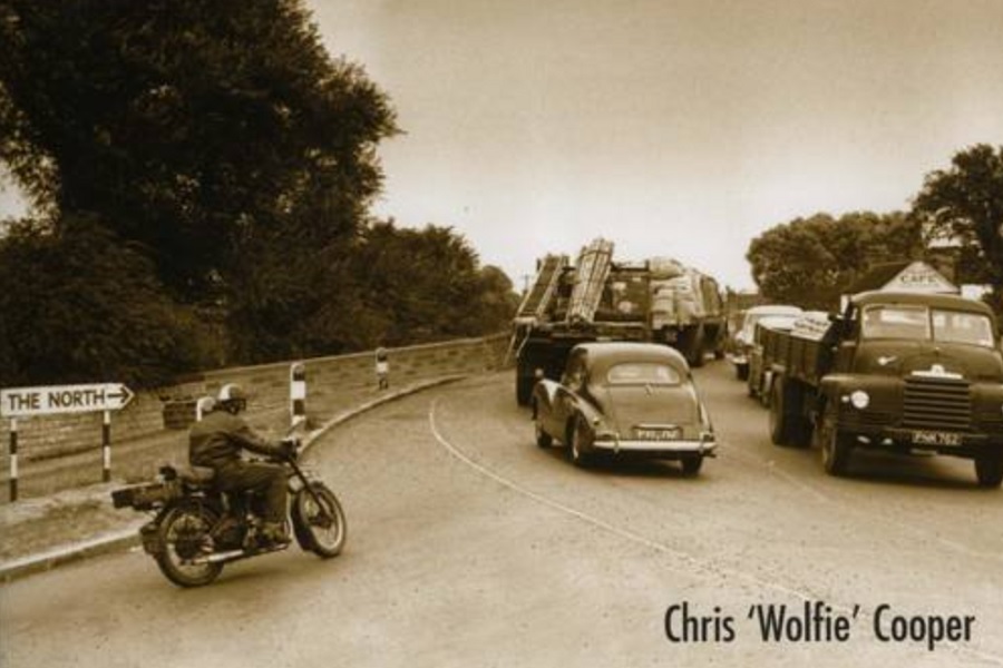
The Great North Road – Then & Now
“The Great North Road – Then and Now” is the title of an excellent 2013 book by lorry driver and roads enthusiast, Chris “Wolfie” Cooper.
I suspect many of his loads were not delivered on time. Chris has clearly spent countless hours exploring the nooks and crannies of the A1. His book includes hundreds of photos and sketches, many of them contrasting images captured decades apart. They serve to illustrate the ongoing evolution of the route of the Great North Road: towns and villages are by-passed; new bottlenecks develop and by-passes are upgraded and linked; “ox-bow laybys” and dead-end lanes tell the tales of times past. The economy of the Great North Road also evolves: cars and people proliferate; towns and villages wax and wane; telephone wires, filling stations, inns and transport cafes come and go.
I am grateful to Chris for allowing me to reproduce some examples of his “then & now” images below. They give a flavour of his book which is still available to purchase:
The Great North Road: Then and Now, Chris Cooper, 2013, Pen & Sword Books, ISBN: 9781870067799
Chris has also created a Facebook Page which allows additional pictures and stories to be shared.
Islington
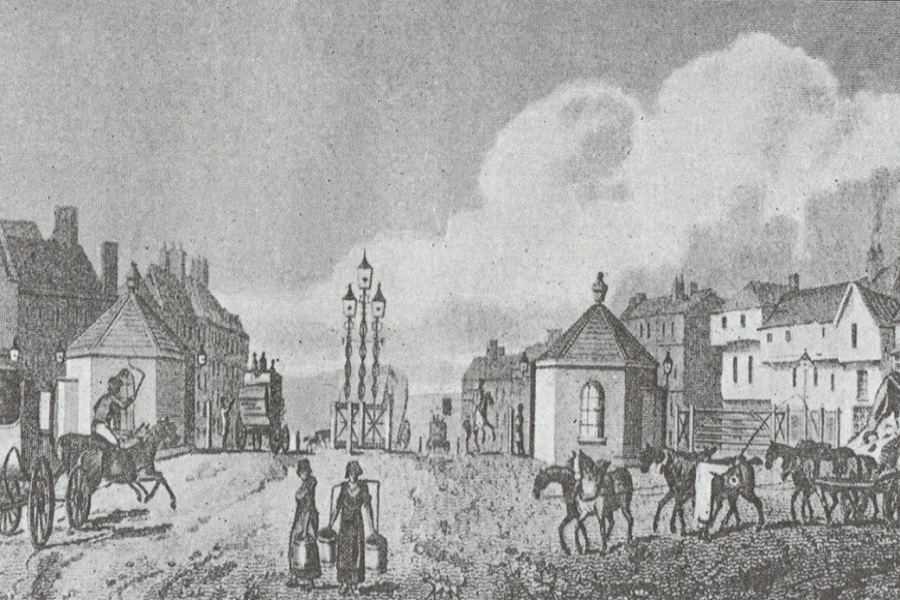
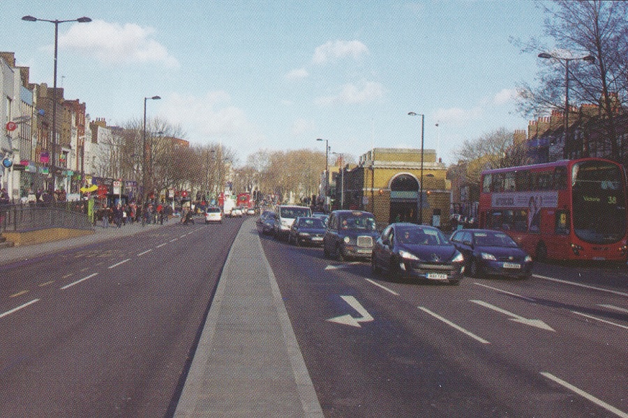
The first toll gate on the Great North Road stood here at Islington (at the junction with Liverpool Road), defining arrivals and departures from London.
Archway
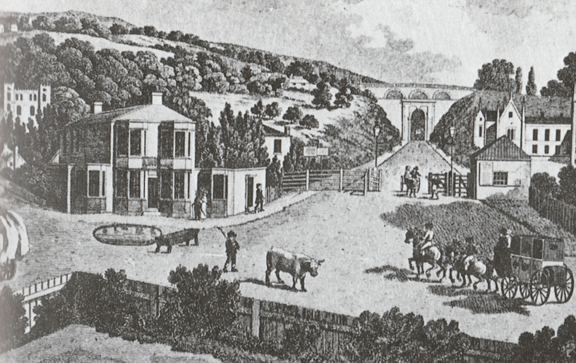
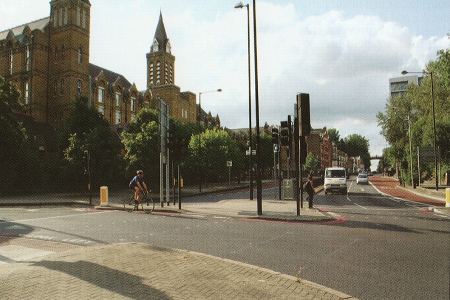
Archway was constructed in 1813 to avoid the steep hill at Highgate. The original arch restricted traffic and was replaced in 1900.
Bell Bar
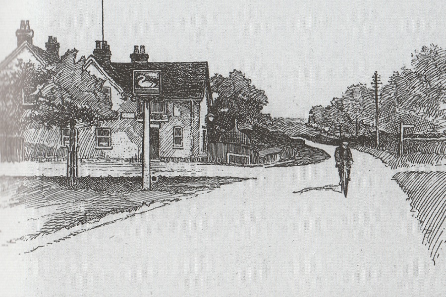
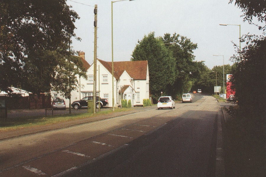
The tranquility of this spot near Brookmans Park is captured in Harper’s sketch of 1900. Now, by-passed by the A1, not a lot has changed.
Hatfield
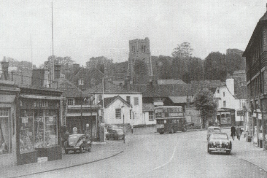
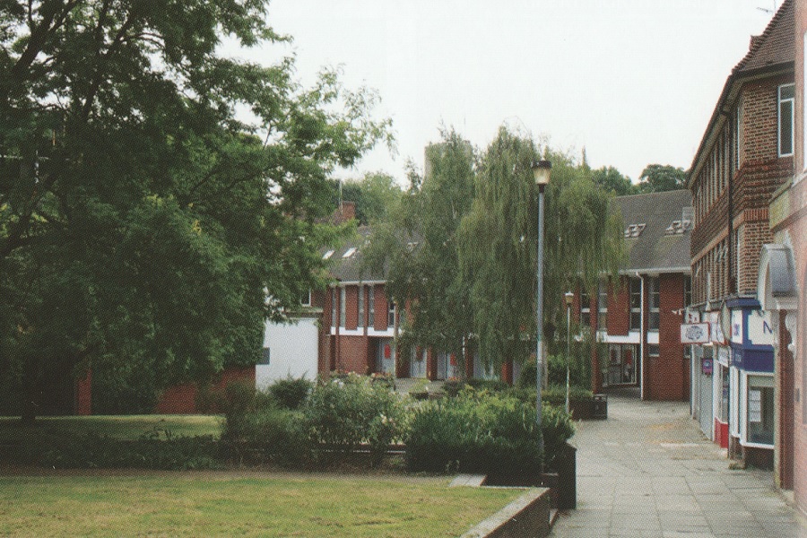
Spot the church tower to verify this is the same location. The Great North Road in Hatfield has been grassed over and pedestrianised!
Stevenage
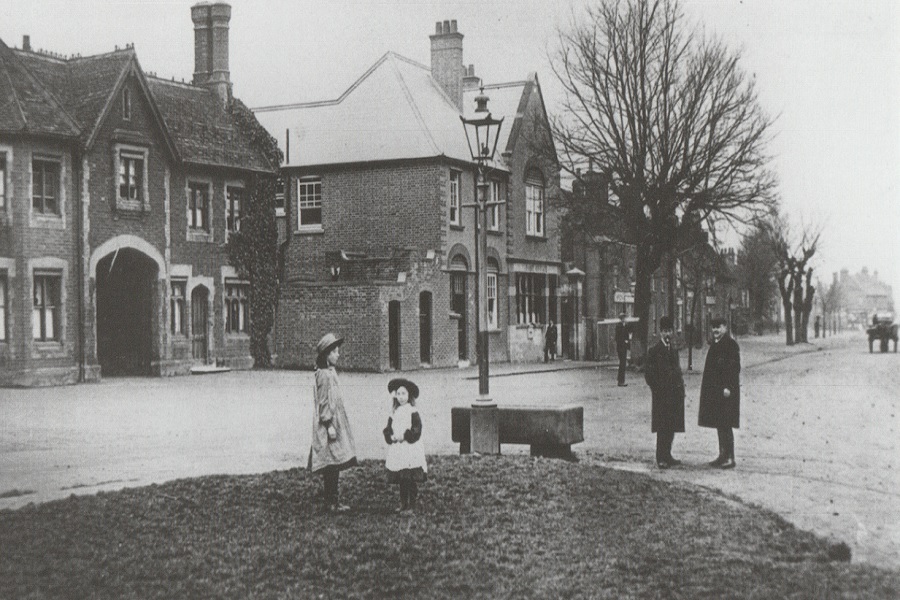
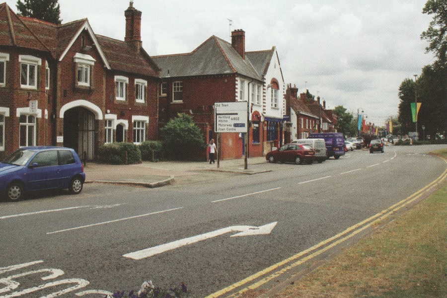
Until Stevenage was bypassed in 1962 your route north took you the length of the High Street, past a horse trough on the Bowling Green. [The Registry Office was formerly housed in one of the buildings on the left and was the venue for a most auspicious wedding in 1976.]
Sandy
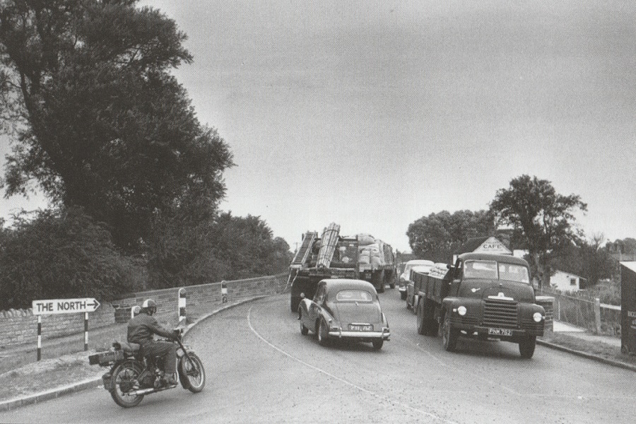
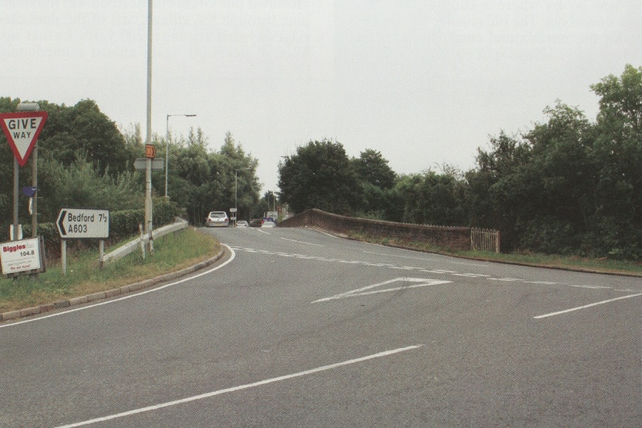
This bridge over the River Ivel is still used by the A603 from Bedford as it approaches Sandy but the Great North Road crosses as a dual carriageway just to the east.
Norman Cross
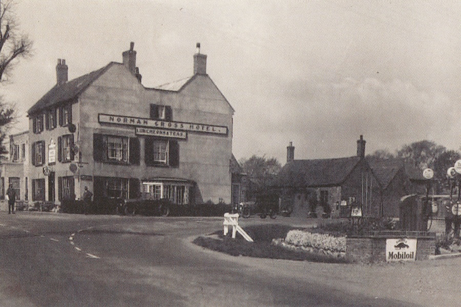
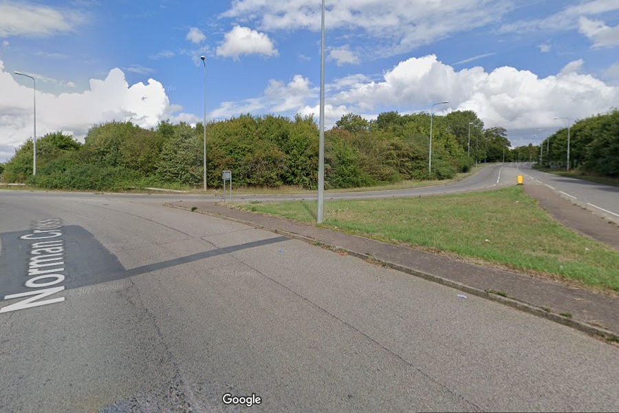
The Norman Cross Hotel was a prominent landmark at the junction with the road leading to Peterborough. The hotel was long ago replaced and its site lost to the A1 motorway junction.
Water Newton
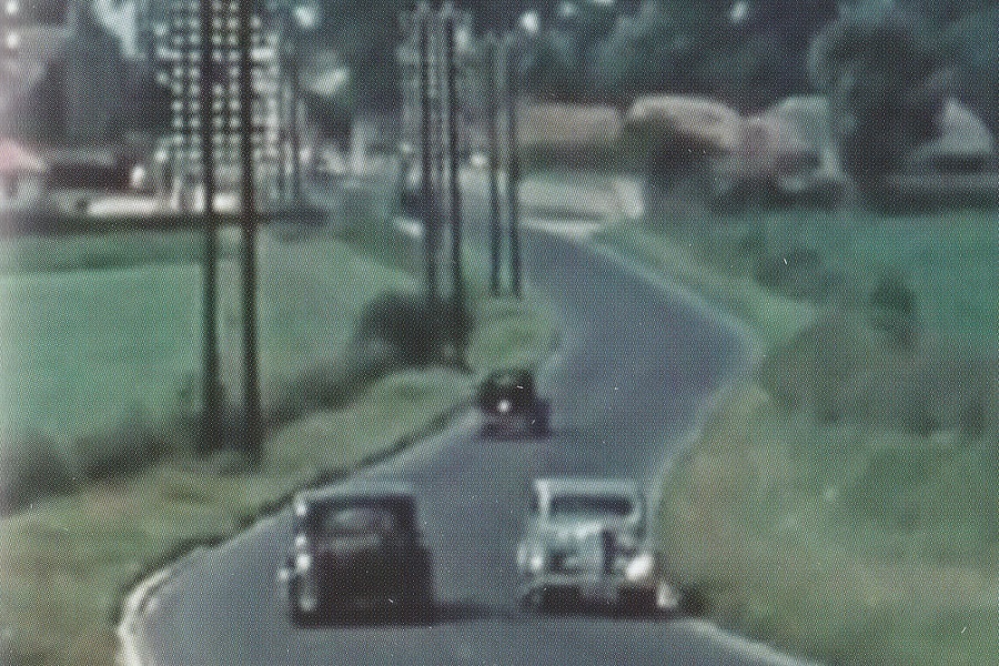
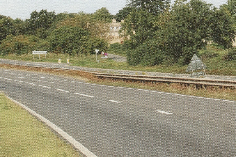
The earlier image from a 1939 London to Grantham film shows the Great North Road snaking into the village of Water Newton. The road remains as a spur from the A1 (with a highly dangerous intersection).
Wansford
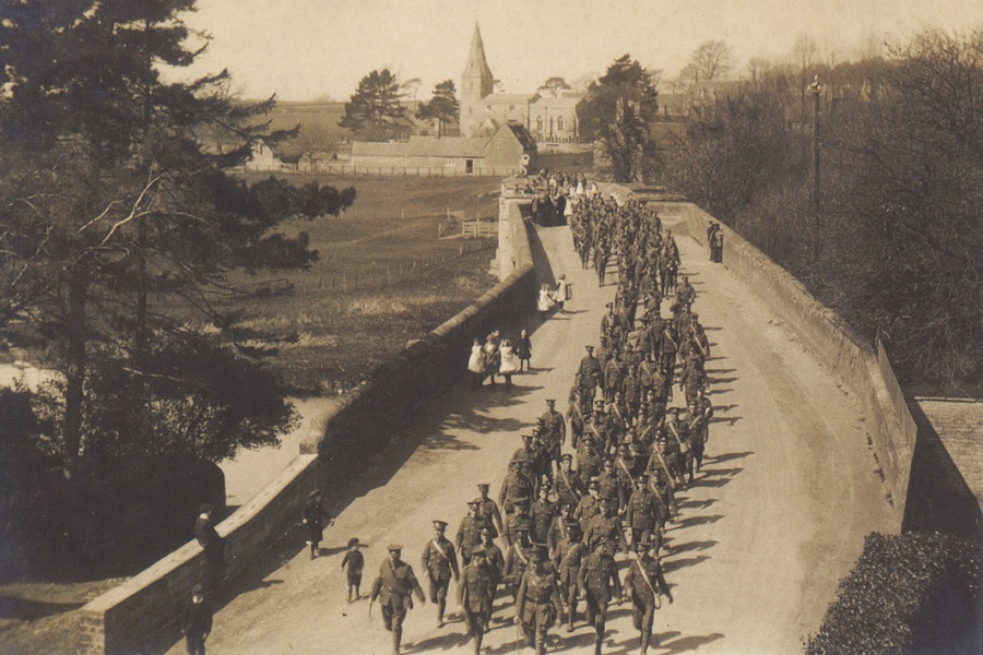
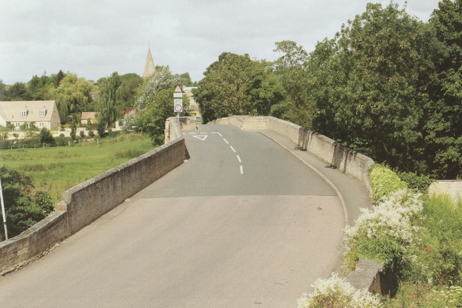
The troops of the Northamptonshire Regiment are on their way to war in 1914 or 1915, marching south over Wansford bridge. Additional bridges constructed in 1929 and 1975 now carry the A1 over the River Nene, returning the old bridge to tranquility (if you ignore the background hum).
Sutton-on-Trent
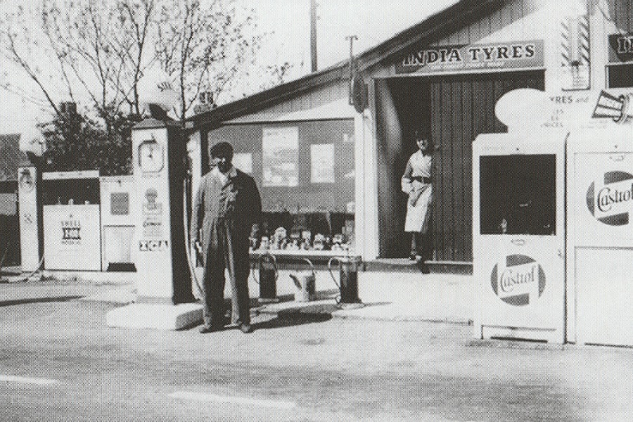
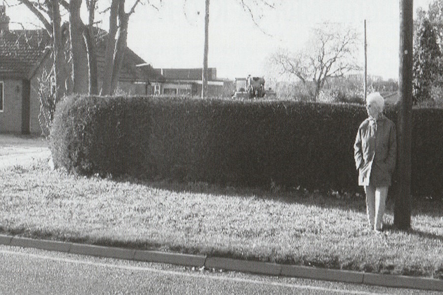
The Smith family garage beside the Great North Road in Sutton-on-Trent has long gone. However, the girl in the doorway is June Smith and she was able to show Chris Cooper where the garage once stood!
Doncaster
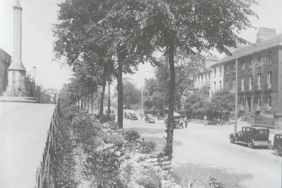
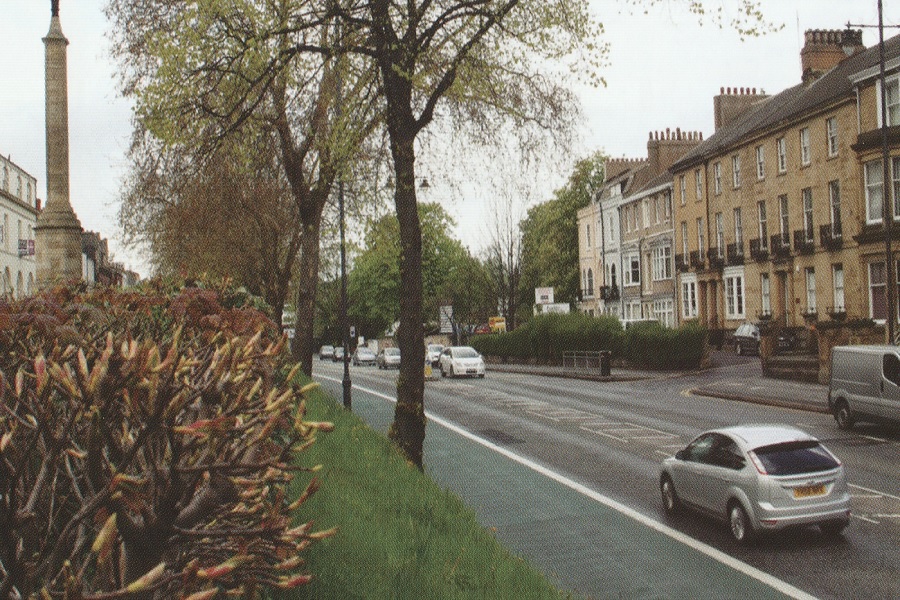
Excused Great North Road traffic since the Doncaster bypass of 1961. A conservation area since 1974. The Georgian properties of South Parade are little changed. The Hall Cross monument was built in 1793 to replace an earlier cross which once stood on the site.
Barnsdale Bar
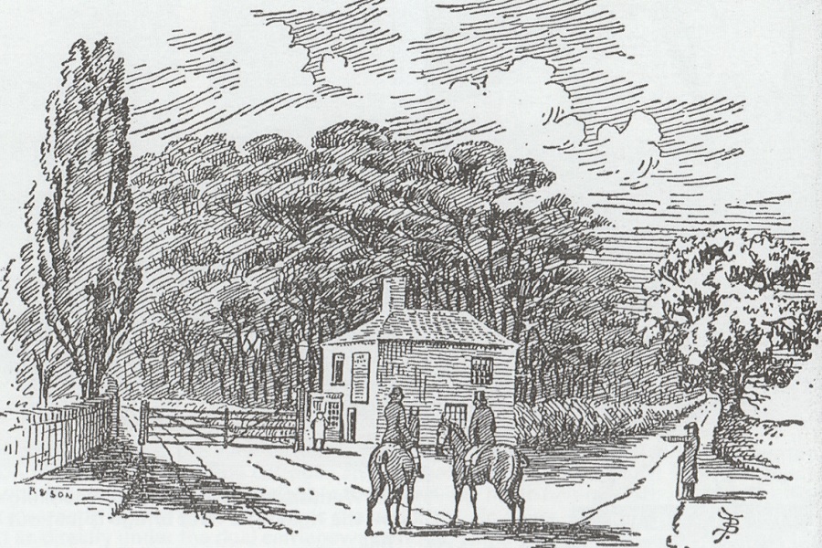
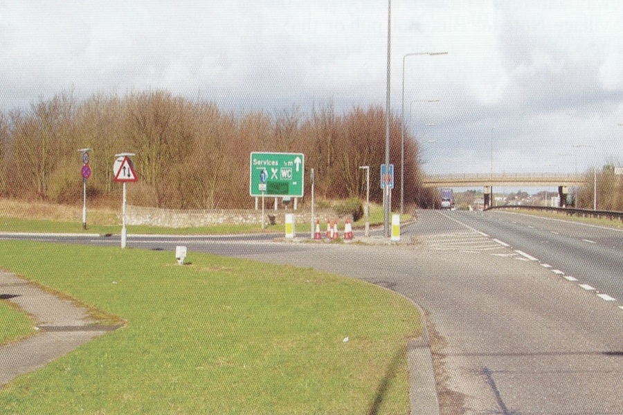
Barnsdale toll bar stood where the road to Pontefract and Leeds branched off.
Ferrybridge
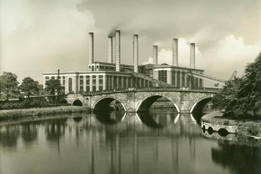
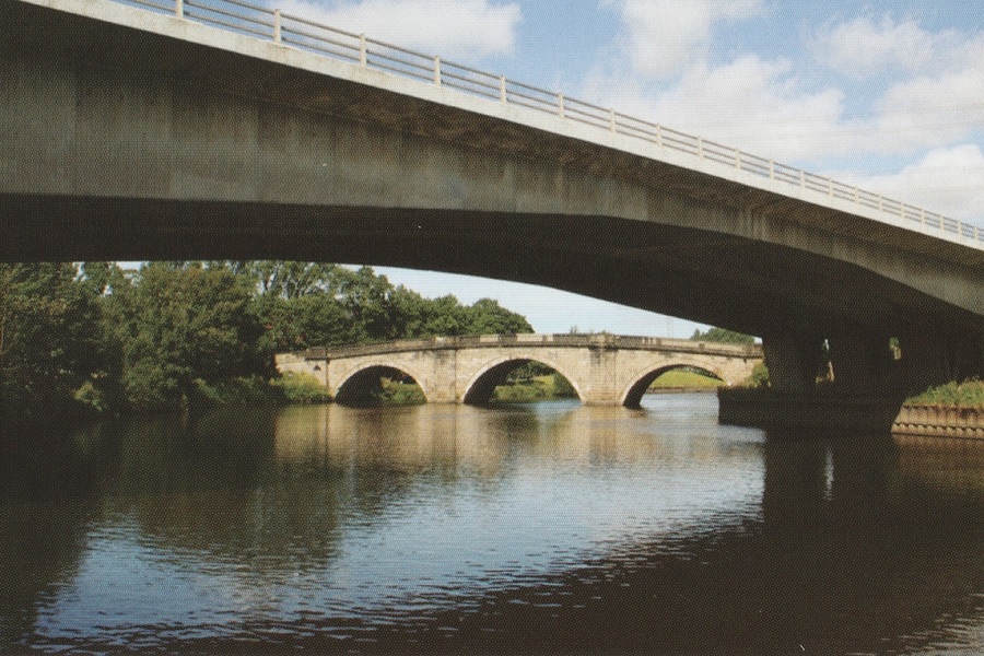
Ferrybridge power station has supplied us with vast amounts of power. It used to dominate the old bridge, which carried the Great North Road over the River Aire from 1804 to 1967, but has virtually disappeared in the more recent photo.
Leeming Bar
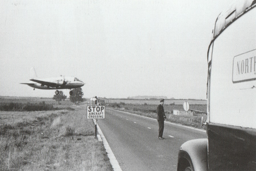
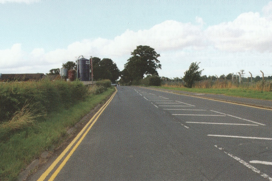
The A1 now skirts Leeming Bar but the Great North Road running through the villages is unchanged. There is a large RAF airfield next to the road and in times gone by they actually stopped traffic to allow aircraft to take off and land.
Newcastle
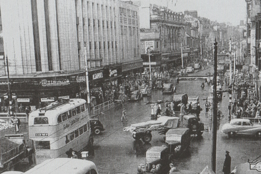
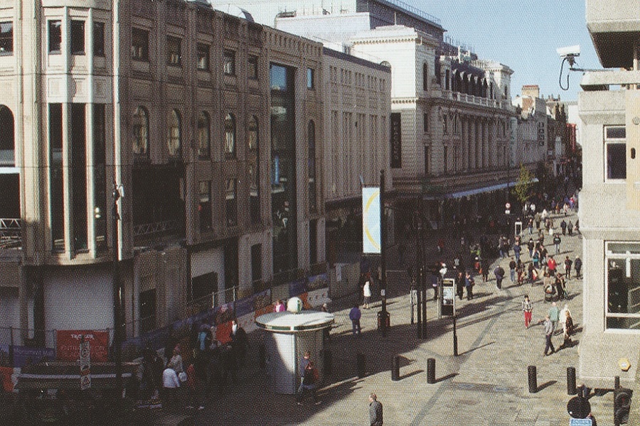
The A1 used to be routed along Newcastle’s busy Northumberland Street. Today, this shopping street is entirely pedestrianised.
Scottish Border
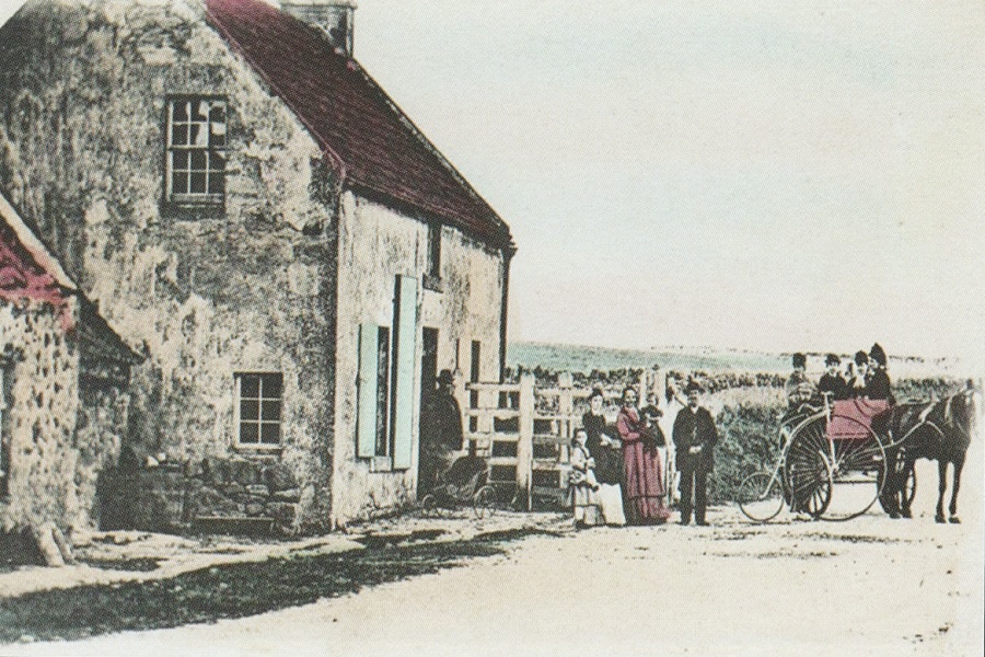
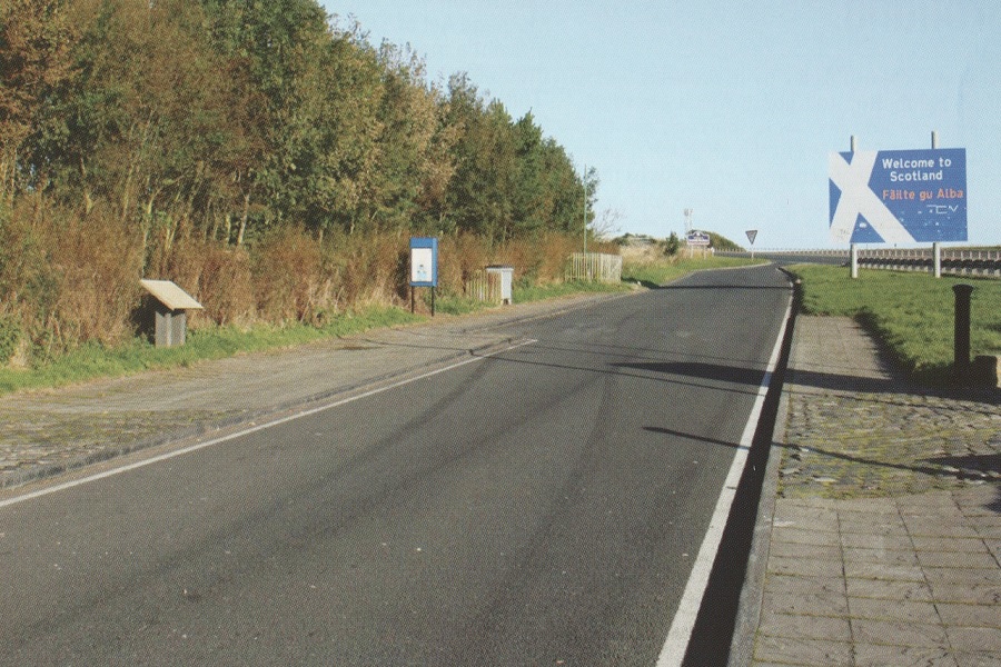
The border between England and Scotland is now marked by cobbled stones set on either side of the road. Formerly there was a toll house right on the border.
Haddington
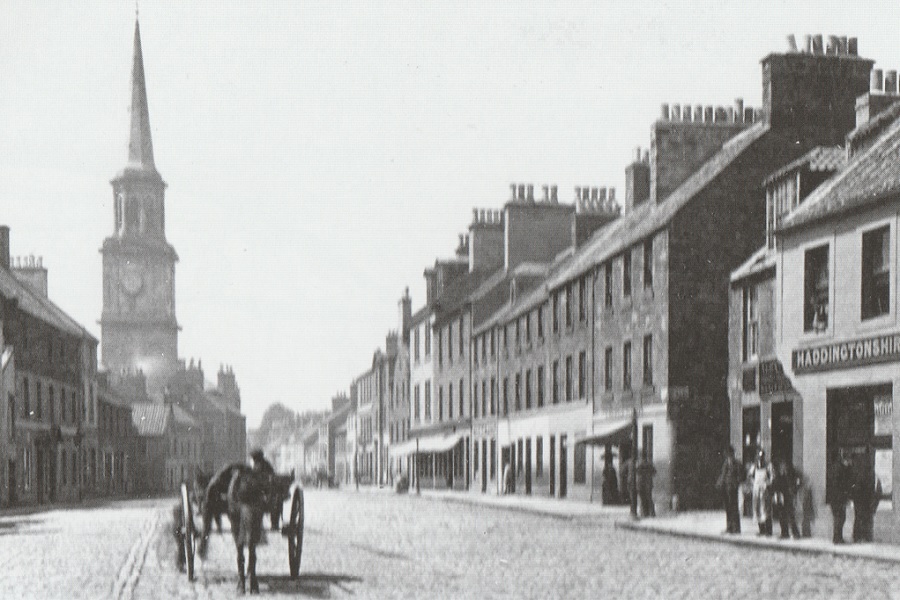
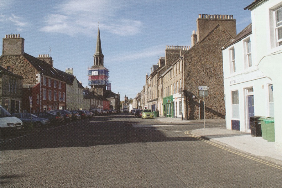
The coaching stop of Haddington 15 miles east of Edinburgh is now by-passed by the A1 but the wide market square is little changed.
Tranent
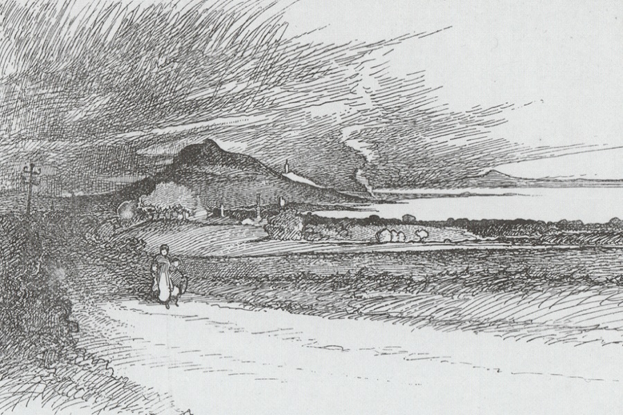
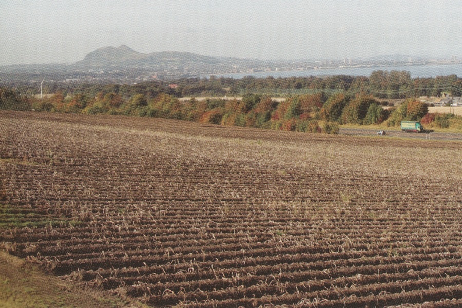
Arthur’s Seat and the prospect of Edinburgh from Tranent were recorded by Harper at the end of the 19th century. The iconic view remains, though with additions such as the A1 bypass and the Forth road bridge in the far distance.
Edinburgh
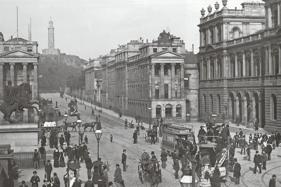
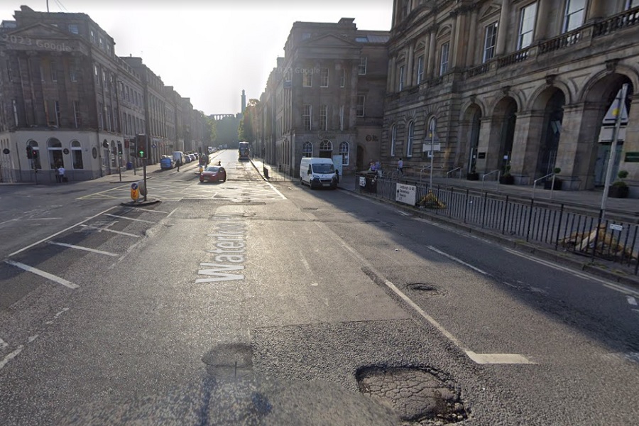
Waterloo Place in Edinburgh is where the A1, A7 and A8 all meet up. I’ve added a Google Street View image to compare with the bustling scene captured in Chris Cooper’s 1880 photo. It is recognisable but rather less glamourous, and has serious pot holes!

