Where does the Great North Road Start and End?
The Great North Road starts in London and ends in Edinburgh (or vice-versa if you wish). It connects the capitals of England and Scotland.
That’s been fine for me for over 10 years but people continue to ask – “but where exactly?”
This question is far more tricky to answer. It of course depends on what era you are considering – and even then, there are multiple options. Are you focusing on mail coaches or stagecoaches? What about the cattle drovers? Are you thinking of the coaching route, the Old North Road or perhaps Roman Ermine Street and Dere Street? Then there’s the old chestnut of where distances are measured from. To cap it all, one can throw in an argument that the Great North Road continues to Inverness and beyond!
This website takes a very broad definition of the route of the Great North Road and I’m not convinced it’s worth worrying about exact start and finish points, but the question keeps being asked so we’ll give it some thought and look at a few contenders.
London
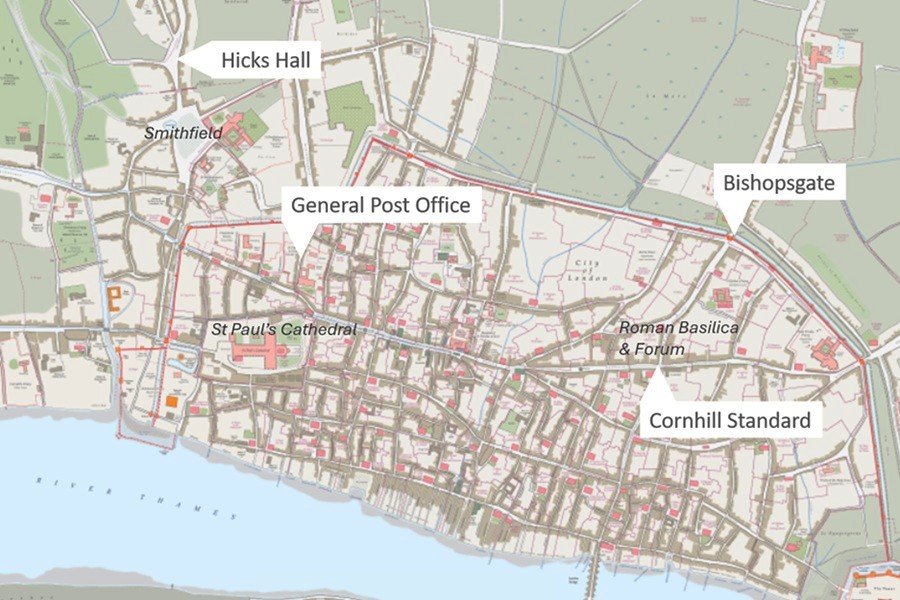
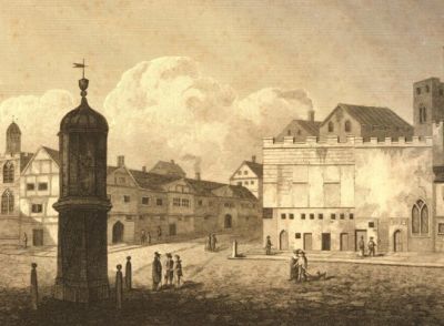
Bishopsgate
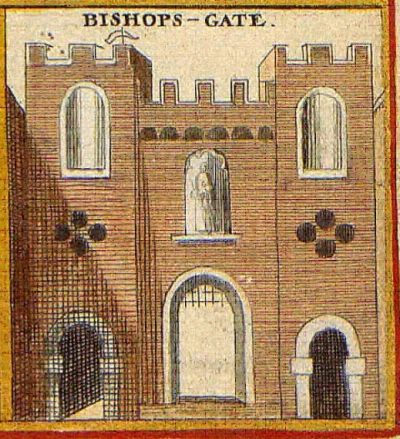
Image Credit – From 17th century map by Wenceslaus Hollar
When the Romans headed north from London along Ermine Street they left through Bishopsgate. This was a short distance north from the Basilica and Forum which were at the heart of Londinium.
The Old North Road used throughout the Medieval period continued to follow this alignment.
Hicks Hall, Smithfield
Hicks Hall: a Victorian reconstruction. Image Credit – TH Shepherd
Hicks Hall stood on an island at the southern end of St John’s Street just outside Smithfield Bar, a tollgate on the City boundary. It was the first purpose-built sessions house for justices of the peace of the county of Middlesex, opened in 1612 and demolished in 1782.
St John’s Street led from Smithfield to Islington so was the route taken by the drovers and their animals bringing meat from the north. A royal patent of 1380 had authorised customs to be taken from those bringing animals and goods to London, to help fund repairs to the road. Drovers, carriers and salespeople lodged at inns such as the Castle and the Cross Keys, conducted their business there, stored goods in the yards and outbuildings, stabled horses and parked wagons.
The Great North Road via Stevenage was displacing the Old North Road via Ware and Hicks Hall came to be used as the datum point for measuring mileages along this route. Even after its demolition in the 1780s, distances to northern destinations continued to be measured from the site.
Paterson’s road books of the 18th century use Hicks Hall as the starting point.
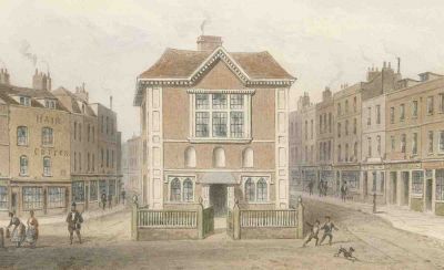
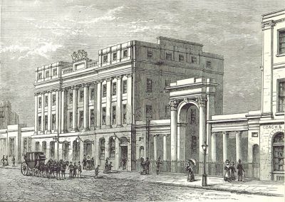
The General Post Office, St Martin’s Le Grand
The New General Post Office. Image Credit James Pollard, 1832
The UK’s post office headquarters was for 150 years in Lombard Street but moved in 1829 to an impressive new building just north of St Paul’s on the eastern side of St Martin’s Le Grand. This was late in the coaching era but was soon adopted by many as the de facto start of the Great North Road. Paintings depicted the post coaches rushing off on their journeys across the country.
When road numbering was introduced in the 1920s it was from the south end of St Martin’s Le Grand that the A1 was anchored.
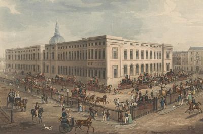
The Cornhill Standard
Reconstruction of the Cornhill Standard. Image Credit – Unknown artist, 1830s
The “water-standard” of 1582 had 4 spouts supplying water from the Thames which was then used to cleanse the gutters of Cornhill, Gracechurch Street, Bishopsgate Street and Leadenhall Street. It is thought there had been much earlier Cornhill Standards – and the location was for centuries used as a datum for measurement of distances from London.
Ogilby’s Britannia, an early road atlas published in 1675, referenced distances from the Cornhill Standard, as did many milestones erected along the new turnpikes.
The location happens to be where the Roman Basilica of Londinium once stood.
Charing Cross
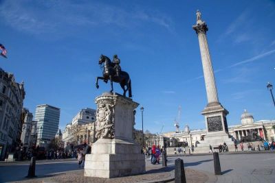
King Charles I in the shadow of Nelson’s Column. Image Credit – Tracy Jenkins, Art UK, CC BY-NC 4.0 DEED
The original location of the final Eleanor Cross has since 1675 been marked by an equestrian statue of King Charles I.
This spot was used for some time by law-makers to define the “centre” of London – and hence as a datum for distance measurements.
As you can see there has never been much consensus as to where roads start or finish – or what constitutes the precise datum for road measurements. The list could go on with other contenders such as Shoreditch Church and the London Stone (originally opposite St Swithin’s in Canon Street).
Edinburgh
The General Post Office, Waterloo Place
The General Post Office in Waterloo Place. Image Credit TH Shepherd, 1829
The counterpoint to the General Post Office in London was its Scottish equivalent, originally in North Bridge street then in 1821 relocated to Waterloo Place near Regent Bridge, then from the 1860s on the site of the Old Theatre Royal, between Waterloo Place and North Bridge. All sites were within a few hundred metres of each other.
Beyond
Camelon
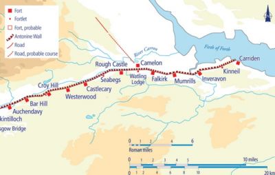
Camelon and the Antonine Wall. Image Credit After David Breeze
For the Romans, Edinburgh was not a destination though there were a couple of forts close to the modern city. Dere Street can be interpreted more sensibly as leading to the Antonine wall which it reached at Camelon near Falkirk. As well as being on the border fortification, it was close to a Roman port on the Firth of Forth.
Inverness
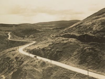
The Winding Great North Road at Slochd. Image Credit – Unknown photographer
The photo above shows the A9 Great North Road winding its way between Aviemore and Inverness.
There’s even a Great North Road north of Inverness at Muir of Ord.